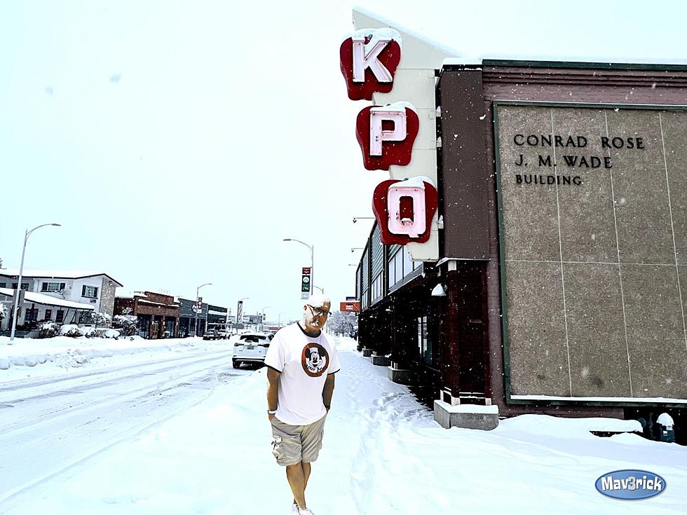

Snow and Rain Forecasted for this Week
The North Central region is going to see increased snow and rain this week, lowering fire activity for the White River and Irving Peak fires.
Cooler temperatures are expected to minimize fire activity for the White River and Irving Peak Fires.
Air quality levels are expected to improve and the amount of smoke in the air to further dissipate.
Sunday is going to be the driest day of the week. Expect freezing temperatures on Monday and Tuesday.
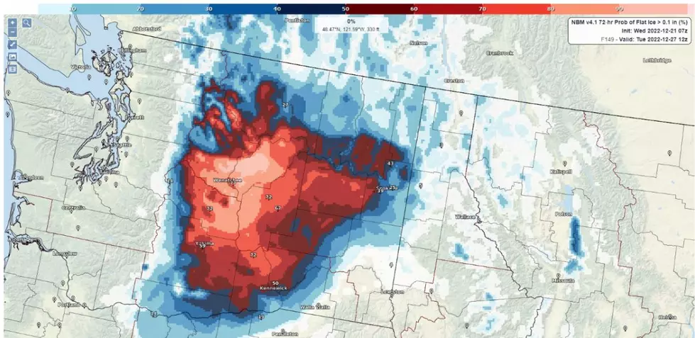
National Weather Service Meteorologist Charlotte Dewey says that the Cascade mountains will see above 3,500 feet on Monday.
“Right now for say Stevens Pass, which is closer to the Wenatchee area, the Monday system looks like we could see anywhere from six to eight inches,” Dewey said. “Wednesday, we could see another four to eight inches, and then by next weekend, we could see a couple more inches. So close to a foot would be probably a reasonable number.”
In lower elevated areas such as Wenatchee, Cashmere, Rock Island, and East Wenatchee, rain will persist through the week.
This weather is projected to persist well into Friday.
More From The Quake 102.1